This is a guest blog written by one of America Walks’ 2020 Community Change Grantees, Kay Kay DeRossette, Grants Coordinator at the Central Arkansas Library System in Little Rock. DeRossette launched the Be Mighty campaign in 2018 to help connect kids and teens to free afterschool, weekend, and summer meals. It soon became apparent that transportation was a barrier to families with low access to food. Under DeRossette’s direction, Be Mighty launched a free bus pass program in the summer of 2019. Over 1,000 individuals participated in the program. This made Kay Kay aware of other barriers to active transportation for bikers and walkers which sparked her work around the Children’s Library and Learning Center. DeRossette serves on the City of Little Rock Sustainability Commission and is the chairwoman of the transportation work group.
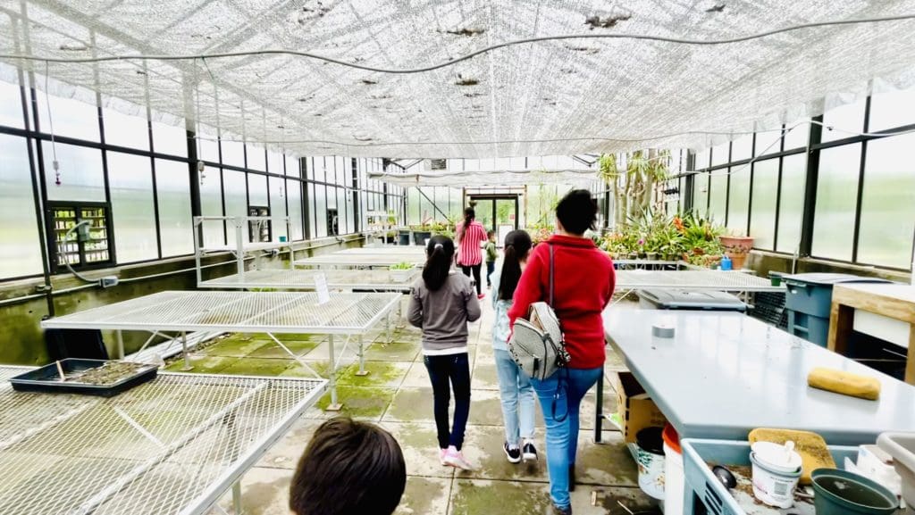
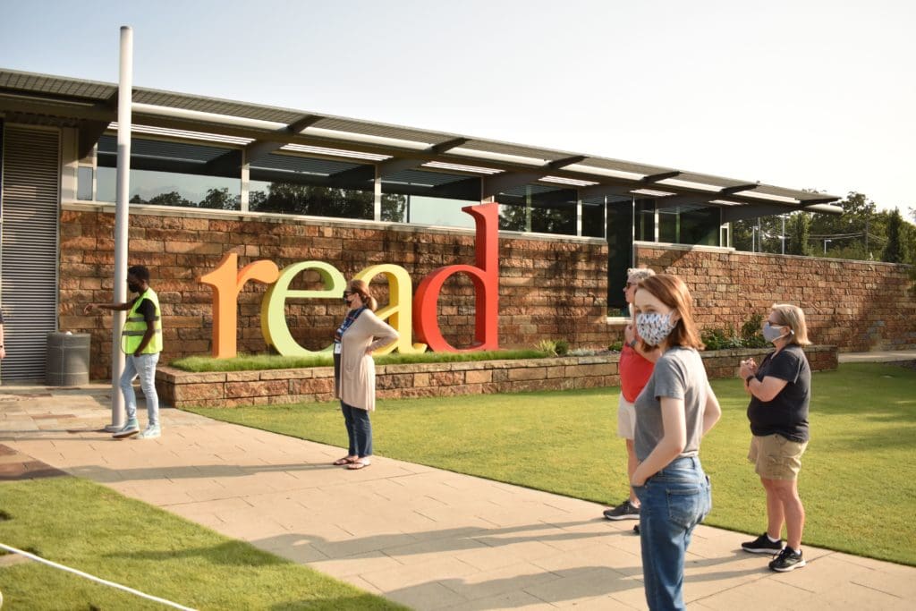
The Children’s Library and Learning Center in Little Rock, Arkansas is a community-embedded, supportive learning center that offers books, performance space, a teaching kitchen, a greenhouse and vegetable garden, and an arboretum. The six-acre site sits adjacent to the interstate that bisects the city and divided its citizens 40 years ago. This library and its site act as a cultural and racial bridge, reuniting the children of this metropolitan city.
Bike and pedestrian crashes are prevalent in the neighborhood surrounding Children’s Library (Metroplan). Smart Growth America ranked Central Arkansas the 19th most dangerous metropolitan area for pedestrians. Central Arkansas’s pedestrian fatality rate is 1.62 per 100,000 people (Smart Growth America, 2019).
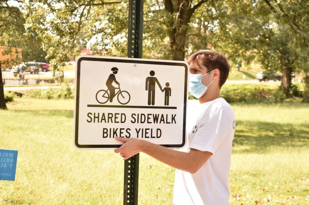
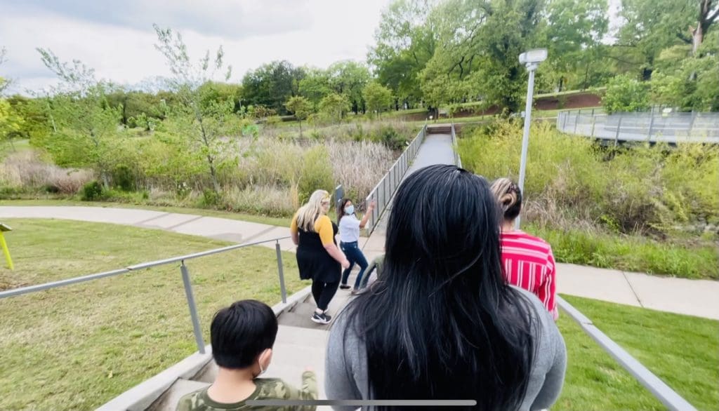
As part of the Community Change Grant Project and with funding from America Walks, the Central Arkansas Library System Foundation installed a story walk at Children’s Library and Learning Center. Book pages are displayed on signs placed along an existing trail. Through this project Central Arkansas Library System (CALS) increased movement and pedestrian safety and built community. The story walk serves CALS patrons and families living in the neighborhood surrounding Children’s Library by offering a safe place to walk.
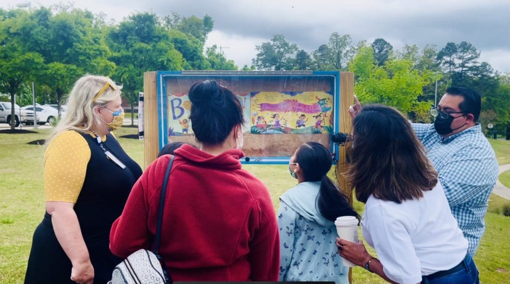
The story on display rotates monthly and has included literature focused on health, wellness, and fitness. Patrons are encouraged to self-report their walks to library staff.
This project helped the CALS foundation leverage funding sources to improve walkability in the neighborhood surrounding the Children’s Library. Over 200 stakeholders were engaged in the Safe Routes to Parks Project where they were tasked with assessing walkability surrounding the Children’s Library.
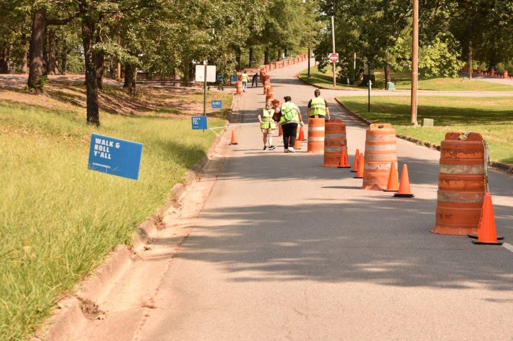
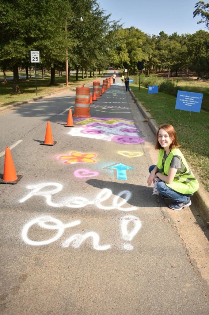
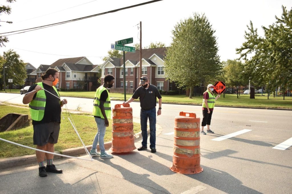
Based on what they learned in the initial assessment phase, the coalition agreed that their first project should focus on connecting the park with the Children’s Library neighborhood south of I-630 to physically bridge the racial divide of the interstate and provide a safe walking and biking route to the park. They installed a temporary, month-long road diet on Jonesboro Drive, which goes over the highway, to increase the visibility of efforts to connect people to the park.
A road diet, also called a lane reduction, road conversion is a technique in transportation planning whereby the number of travel lanes and/or effective width of the road is reduced to achieve systemic improvements. Little Rock Parks and Recreation took the idea to the department of public works, which is typically responsible for on-street improvements. To determine if the project was feasible, the city conducted a traffic study of the area and surveyed the land.
With approval from the city, the parks and recreation department moved ahead with plans for the road diet, relying on community partnerships by securing cones and barrels from the Little Rock Marathon. CALS created a Facebook event promoting the temporary lane, posted the event on their website, and bought safety vests for volunteers to use when setting up the temporary pedestrian and bike lanes. Zoo, library, and park staff maintained the installation, and Pulaski County added its bike counters to track participation throughout the month.
Kay Kay DeRossette shared that, “Over 1,000 trips were taken during the road diet. Jonesboro Drive is a natural pathway that people use regardless of having the extra lane. By tracking the usage throughout the road diet, we not only provided a safer route but hope to use that information to create a more permanent solution along that path.”
The event garnered media attention when the Arkansas Democrat-Gazette featured the project on the front page of the Sunday paper. These combined community efforts raised awareness about the event and encouraged residents to get out and use the route during the project. Another benefit of the project was that it aligned with the City of Little Rock’s phase three plan for the new greenway, an off-street bicycle and pedestrian corridor in the heart of the city, as well as the Master Streets plan that includes the city’s Master Bike Plan.
The City of Little Rock is working to make a permanent bike and pedestrian path along Jonesboro Drive that will be complete by 2023. The Community Change Grant Project was in direct connection with the Safe Routes to Parks project. Collectively, these projects led to the City’s decision to permanently improve walkability along the corridor.